Русский
  English
NIIMA "Progress" presented possibilities of the virtual reference station method at the "Spatial data: science and technology" conference
When computing spatial coordinates in high-precision navigation tasks, an accuracy of data obtained depends on a distance to a base station. Atmospheric influences are insignificant at distances up to 15 km, but at a greater distance from a base station it is necessary to take into account tropospheric and ionospheric delays of radio signals. One of the promising methods for computing coordinates with high accuracy is the virtual reference station (VRS) method with a base station emulated at a short distance from a receiver, on the order of one meter.
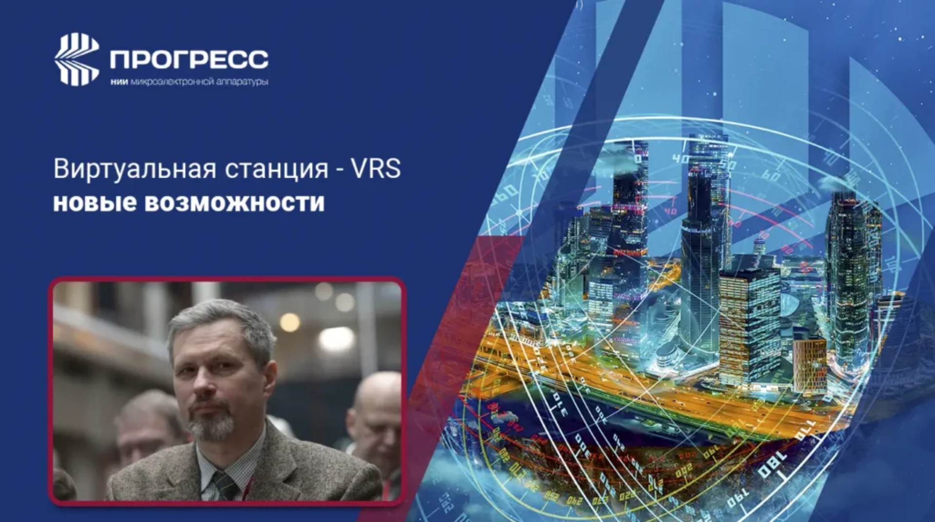
Yuri Noyanov, a representative of "NIIMA "Progress" JSC (part of group of companies "Element", MOEX:ELMT), has spoken on this at the international scientific online conference of Moscow State University of Geodesy and Cartography "Spatial data: science and technology", held on May 25-28, 2026.
In a report presented in the framework of Section No. 8 "Geodesy. Geodetic support systems" and entitled "Virtual station – VRS. New capabilities", an information was provided, in particular, on construction of VRS spatial model and mathematical algorithms used in this method.
Capabilities and advantages of VRS were shown based on results of tests conducted in November and December of 2025 using tools and solutions developed by "NIIMA Progress", company's mobile laboratory, satellite receivers, as well as ProGeoMobile software, which was used to control receivers, and a complex cloud system ProGeoNet designed to control GNSS stations and to create a continuous coordinate-time space in a service area. In addition, satellite receivers from one of leading foreign manufacturers were used in the tests to compare data obtained using them and ones developed by NIIMA "Progress".
Test results showed that the VRS method is comparable in accuracy and reliability of RTK solutions with working in conditions of direct connection to a station located at a distance of 40 km. A comparison with accuracy parameters when working with stations 60 km or more away demonstrates a significant advantage of using VRS, in particular:
- choosing optimal post-processing mode in difficult conditions based on analysis of measurement discrepancies and statistics;
- elimination of losses during data transmission over communication channels;
- exclusion of rover coordinate errors due to spoofing;
- interpolation of base station data;
- using ephemeris server.
"Spatial data: science and technology" is an annual international scientific online conference organized by Moscow State University of Geodesy and Cartography with participation of partners – leading industrial companies, scientific organizations and federal regulators of norms and requirements in the field of spatial data. A purpose of the conference is to consolidate scientists, researchers and specialists from various fields of science and industry who use spatial data in their work as unique characteristics of objects and phenomena of nature, as well as the anthropogenic environment. This year, the event included 11 sections devoted to such topics as photonics, geoinformatics, aerospace surveys and photogrammetry, monitoring of lands, natural resources and emergencies, geodesy and geodetic support systems, geoecology, etc.
The report also presented possibilities of RuPOS service for calculating coordinates in national systems of the Russian Federation. High-precision navigation is one of key areas of research and development conducted by "NIIMA "Progress" JSC, where a high-precision geodetic software and hardware complex PRO-GEO has been created and continues to be improved. Detailed information about this complex can be obtained by contacting company's experts by email