ProGeoAgro — agricultural mapping complex

Purpose
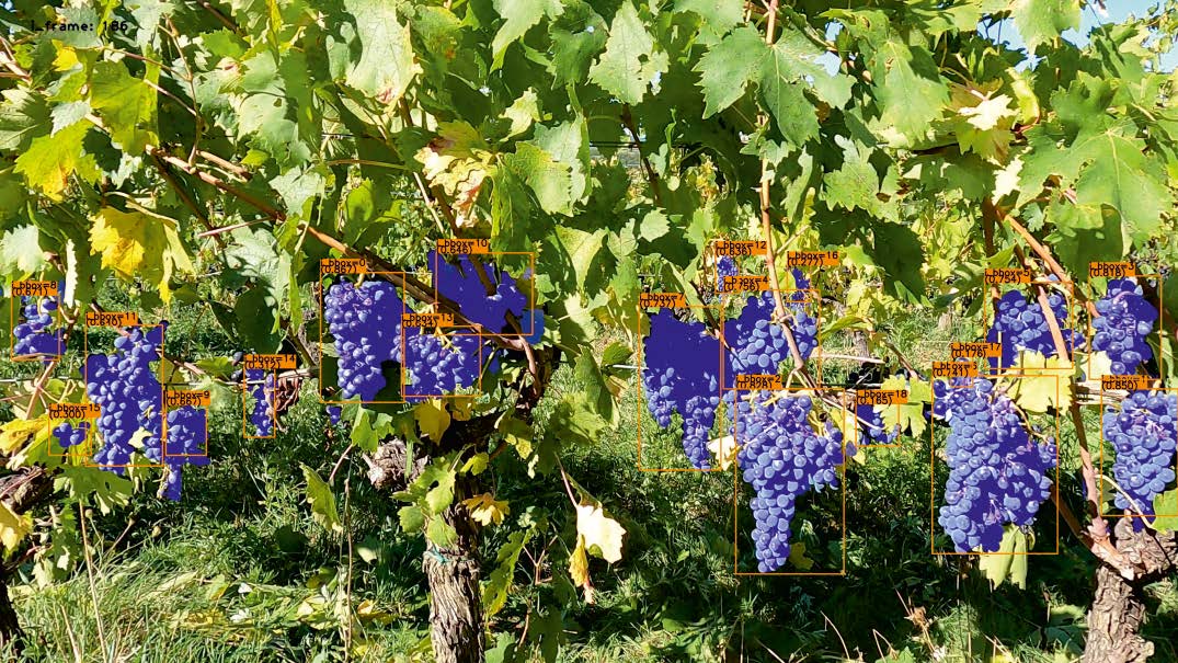
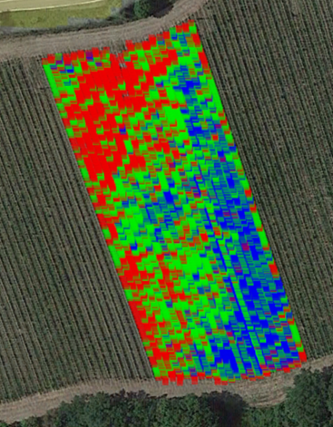
ProGeoAgro is hardware&software complex for mapping agricultural fields, greenhouses, orchards and vineyards using a combined geolocation system, computer vision and artificial intelligence algorithms. Allows one to build yield maps, identify defective fruits and plant diseases
Documentation
The documentation is available here
Hardware and software modules
• 4K video camera
• Navigational receiver
• Program for visualizing results (building maps, graphs, histograms)
Advantages
The system is based on the use of computer vision algorithms and data analysis by means of neural networks of detection and segmentation, this guarantees complete automation of the analysis process, eliminating errors due to the human factor. The system can be customized for different classes of agricultural products: fruits, vegetables and berries. The final result can be presented in a form convenient for the customer: summary tables, graphs or maps
Possibilities
• Constructing a yield density map to identify problem areas
• Yield volume forecast for planning logistics and production tasks
• Assessing quality of agricultural fruits: determining the percentage of defective products
• Identifying plant diseases at an early stage to prevent their spread
 Русский
  English

