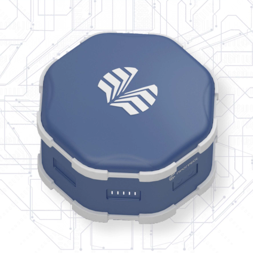
Geodesic GNSS receiver PRO-GEO

About the device
Measuring device for high-precision geodetic surveying. Uses additional sensors
• Inertial navigation system
• Climate sensor
• Camera image analysis
Equipped with wireless communication modules: Wi-Fi, Bluetooth
Uses unique algorithms for RTK solutions
Works with built-in or external GNSS antenna
Documentation
The device documentation is available here
Text
Application area
Designed to perform almost all types of geodesic work: surveying a relief, creating and sealing geodesic networks, cadastral geodesic work, developing a three-dimensional model, estimating volume of earthworks, bringing a project to an area, etc.
Main technical parameters
Measurement error
Post-processing
2.5 mm + 1 mm per 1 km in plane
5 mm + 1 mm per 1 km in altitude
RTK
8 mm + 1 mm per 1 km in plane
15 mm + 1 mm per 1 km in altitude
DGPS
< 0.4 m standard deviation
SBAS
< 1 m standard deviation
Autonomous
< 1.5 m standard deviation
Corrective information
Connection channels
Cellular, VHF, SBAS
Protocols, formats
NTRIP, RTCM 2.Х, 3.Х, SSR (for РРР mode)
External conditions
Working temperature
From -40 °C to +60 °C excluding battery
Storage temperature
From -40 °C to +70 °C excluding battery
Dust and moisture protection
IP67
Signal receiving and processing
Satellite systems
GLONASS, GPS, BeiDou, Galileo
Main GNSS signals in frequency ranges
L1, L2, L5, B1, B2, B3, E1, E5A, E5B
Surveying methods
Post-processing
Static, kinematic, "stop-go"
Real time
RTK, DGPS, PPP
Interfaces
Wired interfaces
Ethernet, CAN, USB, RS-232
Wireless interfaces
Wi-Fi, Bluetooth
Weight and dimensions
Dimensions (L х W х H)
160 х 160 х H mm (height H depends on block set: from 120 mm)
Weight
From 1350 g (weight depends on block set)
Supported data exchange formats
Formats
NMEA, RINEX, BINEX
 Русский
  English