ProGeo – for all those who use geodetic satellite receivers in their work
Our solutions
Hardware solutions
GNSS antenna PRO-ANT
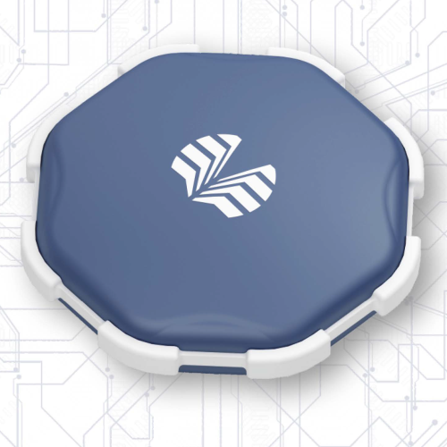
PRO-ANT is GNSS antenna with highly stable phase center. The antenna is mounted on a standard pole (5/8-11″ thread). The antenna cable is connected to a standard TNC connector located on the antenna body. The antenna has a high degree of dust and moisture protection IP68 and is capable of operating in the harshest conditions.
The PRO-ANT antenna is capable of receiving signals of GPS, GLONASS, Galileo, BeiDou, IRNSS L5, WAAS, EGNOS, MSAS, GAGAN и QZSS.
Geodesic GNSS receiver PRO-GEO
Measuring device for high-precision geodetic surveying. Uses additional sensors.
Equipped with wireless communication modules: Wi-Fi, Bluetooth. Uses unique algorithms for RTK solutions. Works with built-in or external GNSS antenna.
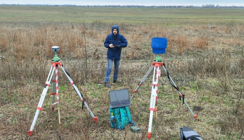
Designed to perform almost all types of geodesic work: surveying a relief, creating and sealing geodesic networks, cadastral geodesic work, developing a three-dimensional model, estimating volume of earthworks, bringing a project to an area, etc.
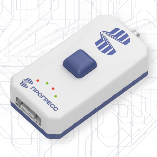
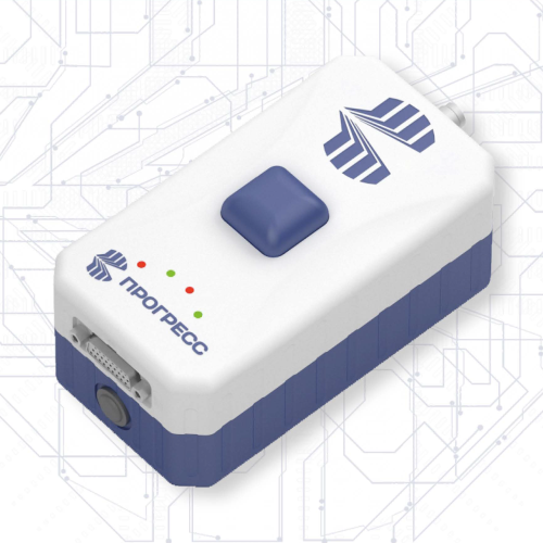
Radio modem PROVHF400
PROVHF400 is a series of case-mounted VHF radio modems in the range of 410-470 MHz.
The maximum transmission power is 2 W, the maximum transmission rate is 19200 bps.
PROVHF400 is compatible with the TRIMTALK, TRIMMARK, and Transparent-EOT protocols.
Interfaces supported are RS232, RS485, USB, CAN, Bluetooth, Wi-Fi.
Configuration via command and WEB interfaces is supported.
PROVHF400 has a light indication of a status of the device and interfaces.
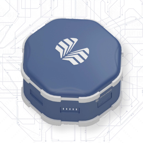
Radio modem PROVHF400B with autonomous power supply
PROVHF400B is a series of case-mounted VHF radio modems in the range of 410-470 MHz with autonomous power supply.
The built-in battery provides up to 9 hours of operation at a transmission power of 2 W with a maximum transmission rate of 19200 bps.
PROVHF400B is compatible with the TRIMTALK, TRIMMARK, and Transparent-EOT protocols.
Interfaces supported are RS232, RS485, USB, CAN, Bluetooth, Wi-Fi.
Configuration via command and WEB interfaces is supported.
PROVHF400B has a light indication of a status of the device and interfaces.
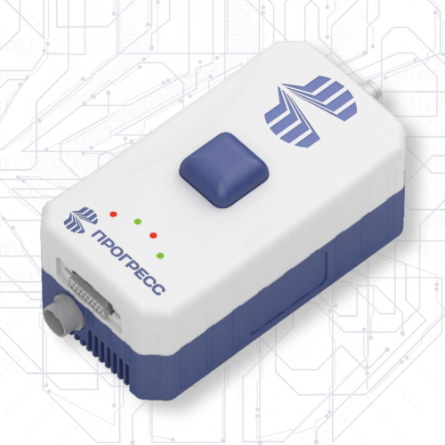
High-power radio modem PROVHF435
PROVHF435 is a series of case-mounted VHF radio modems in the range of 410-470 MHz.
The maximum transmission power is 35 W, the maximum transmission rate is 19200 bps.
PROVHF435 is compatible with the TRIMTALK, TRIMMARK, and Transparent-EOT protocols.
Interfaces supported are RS232, RS485, USB, CAN, Bluetooth, Wi-Fi.
Configuration via command and WEB interfaces is supported.
PROVHF435 has a light indication of a status of the device and interfaces.
Software solutions
ProGeoOffice
A modern post-processing program that takes into account latest GNSS upgrades, latest capabilities of equipment for receiving satellite signals and online resources for necessary additional information, designed to process measurements performed for the purposes of topographic and cadastral surveys, geodesy, mine surveying and aerial photography. The program runs under Windows and Linux OS.
ProGeoMobile
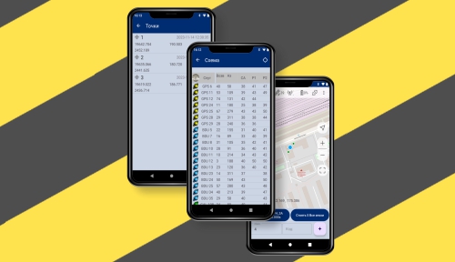
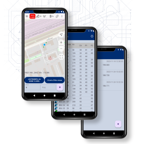
ProGeoMobile is a field software for setting up and monitoring GNSS receivers, as well as carrying out geodetic work.
ProGeoMobile provides the ability to configure GNSS receivers in RTK Base mode and RTK Rover mode using pre-configured settings. Performs simple surveying and marking work.
Also provides integration with NIIMA "Progress" services, such as cloud file processing, network correction service, and more.
ProGeoGNSS
ProGeoGNSS is a software for handling PRO-GEO receivers
ProGeoGNSS program is designed to configure PRO-GEO receivers (both in fine and general modes). A common user interface has been developed based on the implementation of receivers configuration: PRO-GEO, Javad GNSS and SinoGNSS by ComNav Technology Ltd
Tools
ProGeo ecosystem provides everyone interested with a large set of online tools for performing vital geodesic tasks:
• recalculation of coordinates from one system to another,
• converting measurements from one format to another,
• calculation of angles and distances,
• datum calculation and much more...
Services
ProGeoNet
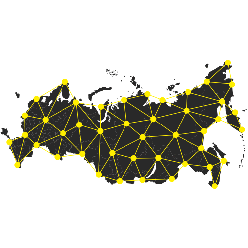
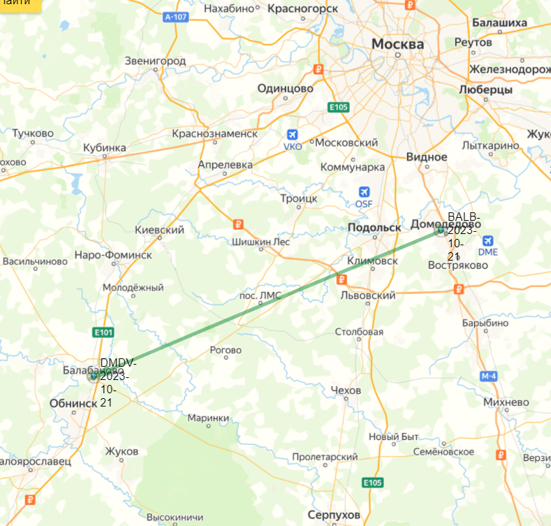
Positioning and navigation of static and moving objects based on satellite systems data, namely GPS, GLONASS, Galileo, BeiDou, QZSS, IRNSS, by methods of RTK, RTPK, РРР, classical post-processing.
Software package created on the basis of developed NTRIP caster is designed to control permanently operating GNSS stations and to create a continuous coordinate space in a service area of satellite geodetic and navigation equipment consumers.
 Русский
  English


