ProCloud

Purpose
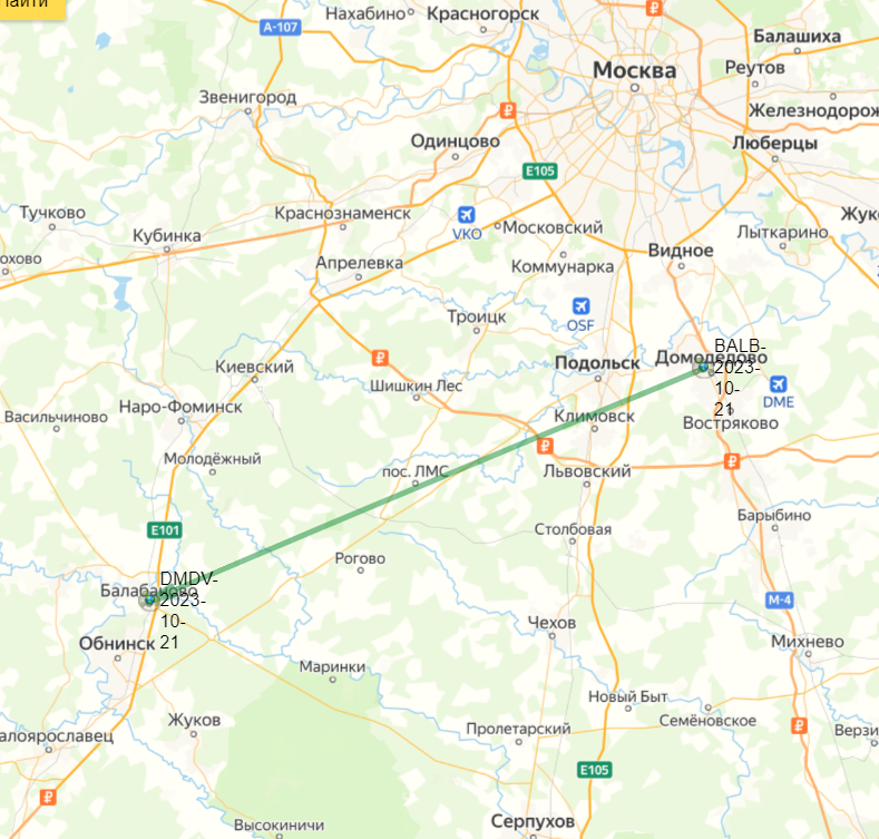
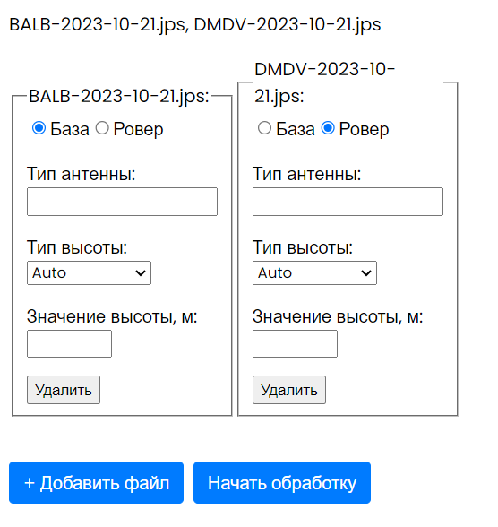
Positioning and navigation of static and moving objects based on satellite systems data, namely GPS, GLONASS, Galileo, Beidou, QZSS, IRNSS, by methods of RTK, RTPK, РРР, classical post-processing.
Documentation
The documentation is available here
Text
Screenshots
Advantages of cloud services
• Access to Internet resources providing information on satellite orbits, clock corrections, weather data, Earth surface velocity models, coordinates of reference points, databases of satellite receiver antennas and coordinate transformations using relevant links.
• Ensuring compatibility and synchronization of software module updates.
• Scaling computing capabilities. Unlimited data amount.
• Control and support of field GNSS data collection devices.
• User access and authorization via WEB browsers.
 Русский
  English
