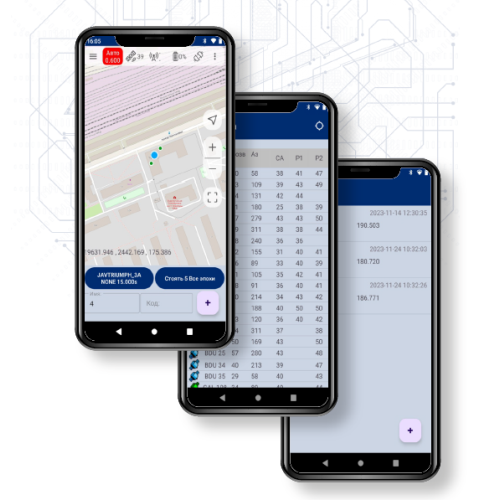
ProGeoMobile — field software

Purpose
ProGeoMobile is a field software for setting up and monitoring GNSS receivers, as well as carrying out geodetic work
To get information on pricing and ordering, please fill out the application form
Documentation
The program documentation is available here
Entry number in the register of domestic software: 00000
Main software parameters
Works with equipment: GNSS receivers: PRO-GEO; radio modems: PROVHF400, PROVHF400B, PROVHF435
Operating system: Android
Interface languages: Russian, English
Export formats: TXT
Import formats: TXT
Map tile options: OpenStreetMap
Reception of RTK corrections: CMR, JPS, RTCM, RTCM MSM
Coordinate systems: preinstalled, user-added
Current program version: 0.0
Last update: 00.00.0000
Features and advantages
ProGeoMobile provides the ability to configure GNSS receivers in RTK Base mode and RTK Rover mode using pre-configured settings. Performs simple surveying and marking work
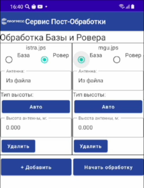
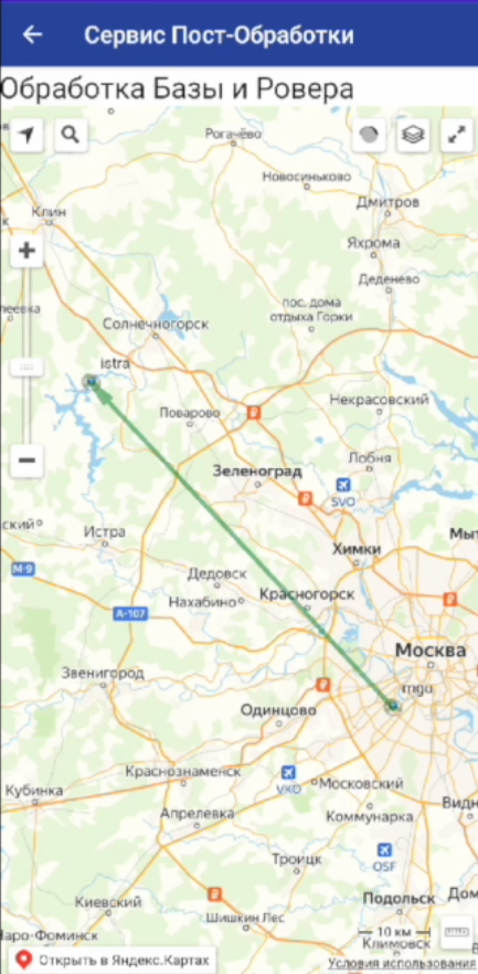
Also provides integration with NIIMA "Progress" services, such as cloud file processing, network correction service, and more
 Русский
  English

