ProGeoNet — cloud services for GNSS data processing
Purpose
Positioning and navigation of static and moving objects based on satellite systems data, namely GPS, GLONASS, Galileo, BeiDou, QZSS, IRNSS, by methods of RTK, RTPK, РРР, classical post-processing.
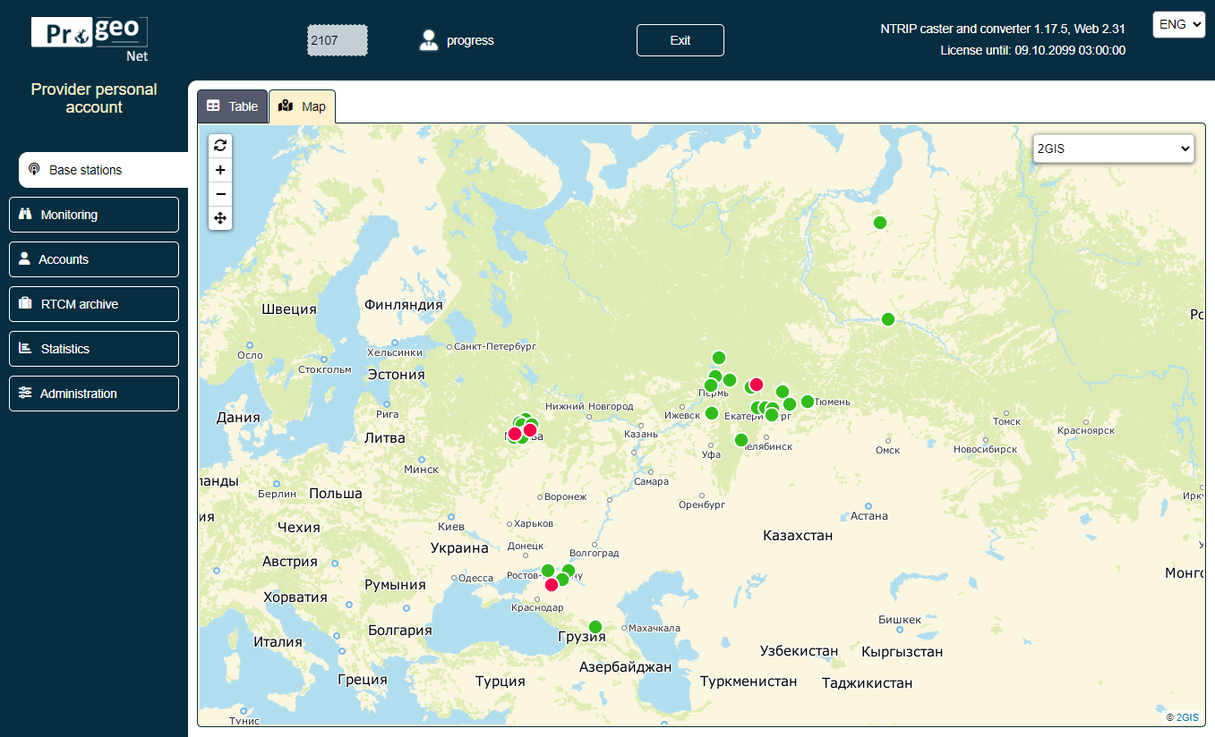
Software package created on the basis of developed NTRIP caster is designed to control permanently operating GNSS stations and to create a continuous coordinate space in a service area of satellite geodetic and navigation equipment consumers.
Documentation
The documentation is available here
Software modules
• Post-processing of data files of RINEX 2.11-3.05 formats
• NTRIP caster version 2 for Linux and Windows, including a console version
• Calculating coordinates in real time on a server – reverse RTK, RTPK
• VRS – virtual reference station
• PPP (Precise Point Positioning) – classic and disambiguation
• Current database of coordinate systems of administrative objects and coordinate transformation algorithms
• Report generator, exporting results in formats csv, shape, MID/MIF, tab, kml, PNEZD, StarNet, xml, dxf, txt
Main parameters
• WEB administration interface
• Linux and Windows versions
• NTRIP protocol version 2
• Console version
• Transmission of corrective information in RTCM 3.0 and MSM formats
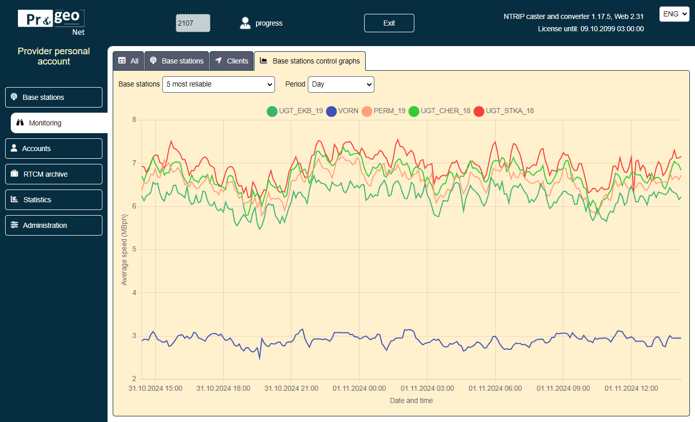
• Monitoring of base stations position
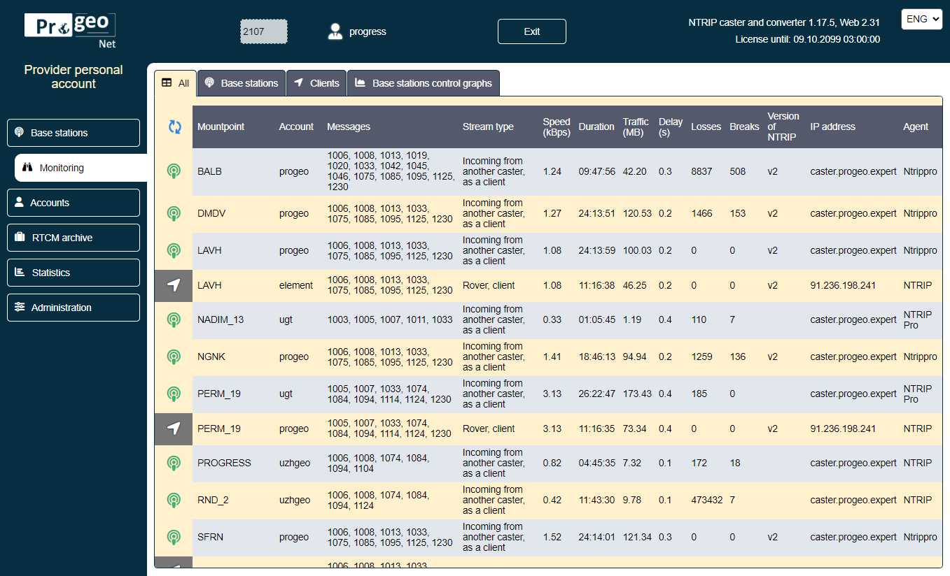
• Stream administration
• Extended database of coordinate systems
• Connection billing
Advantage of cloud services
• Access to Internet resources providing information on satellite orbits, clock corrections, weather data, Earth surface velocity models, coordinates of reference points, databases of satellite receiver antennas and coordinate transformations using relevant links
• Ensuring compatibility and synchronization of software module updates
• Scaling reference station networks
• Control and support of field GNSS data collection devices
• User access and authorization via WEB browsers
Virtual reference station technology (VRS)
• Significantly expands the use of RTK mode. Calculation of a spatial field of ionospheric corrections allows reducing measurement time
• Allows one to obtain a reliable fixed solution at distances exceeding 100 km, in unfavorable conditions (foliage, urban development), with a disturbed ionosphere
• Allows one to reduce a number of base stations
• Allows one to quickly monitor changes in coordinates of base stations
 Русский
  English


